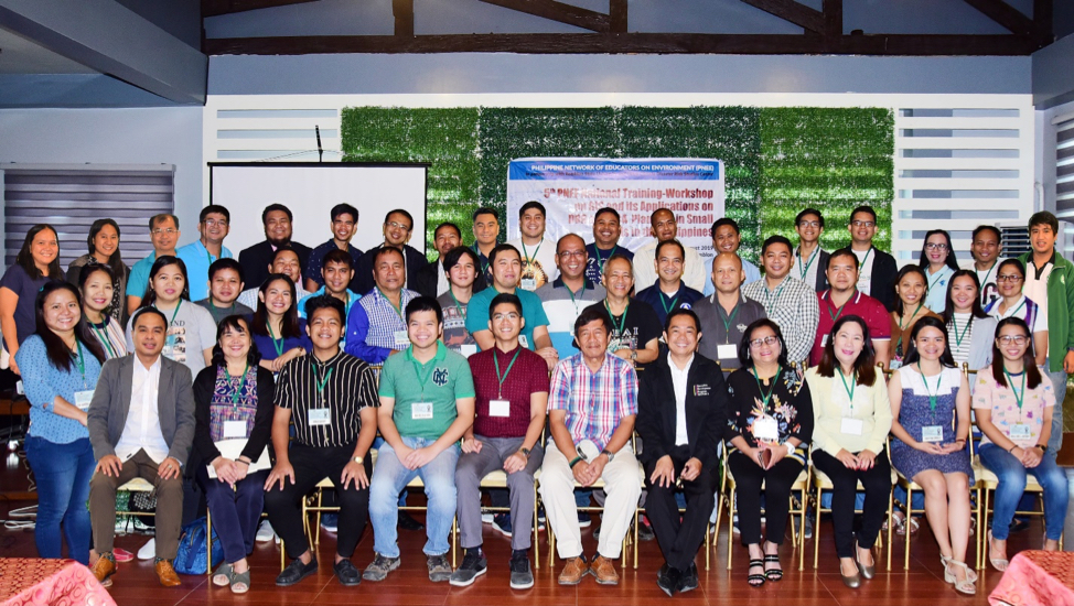
The Philippine Network of Educators on Environment (PNEE), in partnership with Romblon State University (RSU) and UPLB Climate Disaster and Risks Studies Center (UPLB-CRSC), conducted the 5th PNEE National Training-Workshop on GIS and its Applications on DRR and CCA Planning in Small Islands in the Philippines last 14-16 August 2019 at DOBS Events Place, Odiongan, Romblon. The 3-day training-workshop was participated by 40 individuals coming from different State Universities and Colleges (SUCs) in the country and some Local Government Units (LGUs) of Romblon.
Small islands, due to its small size and isolation, are considered to be one of high risk areas to natural disasters, climate change impacts, and other environmental stresses. Identification of the areas where these inherent risks are most likely to occur are critical to disaster preparedness and risk reduction. As such, this training-workshop was aimed to capacitate researchers and faculty members of State Colleges and Universities as well as staff of Local Government Units to assess the vulnerability of small islands through spatial mapping
The training-workshop was opened by Dr. Borromeo Motin, Director for Research in RSU and PNEE Board Member. Dr. Motin stressed the importance of the training-workshop and how it can serve as an avenue to strengthen the instruction, research, and extension of Higher Education Institutions (HEIs). Dr. Arthur R. Ilagan, the Vice President for Research, Extension and Training of RSU, welcomed the participants from different regions and emphasized the timeliness and relevance of the training to the current situation of the small islands in the country.
For. Jan Joseph Dida, an Affiliate Assistant Professor in the Institute of Renewable Natural Resources (IRNR), College of Forestry and Natural Resources (CFNR) of UPLB, lead the first two days of the training. He introduced the mapping software, Quantum GIS, and discussed about its features and functions. He also discussed the use of mapping techniques, through hands-on exercises, to make a susceptibility map particularly flood and landslide hazard maps. This was complemented by the lecture of For. Nico Almarines, Instructor 3 at IRNR, CFNR-UPLB, who talked about data acquisition from various sources and its corresponding preparation. He also thoroughly demonstrated the steps for georeferencing and vectorization, an important skill to acquire in utilizing the data that is available.
The third day focused on integrating the susceptibility maps into planning wherein the University Coordinator of UPLB-CDRSC, Dr. Yusuf A. Sucol, who is also an Affiliate Assistant Professor at SESAM-UPLB, presented various concepts and frameworks on CCA and DRR both in the national and local contexts. He elaborated the entry points where spatial mapping is critical to planning and how the information shown in the maps are fundamental and relevant in order to improve planning and disaster risk reduction and management.
Overall, the participants were motivated to further explore the application of spatial mapping in instruction, research, and extension that could be integrated in developing or enhancing local planning in response to CCA and DRR in their respective institutions and local units (For. Jomari Baggay and Ma. Christina Corales).

