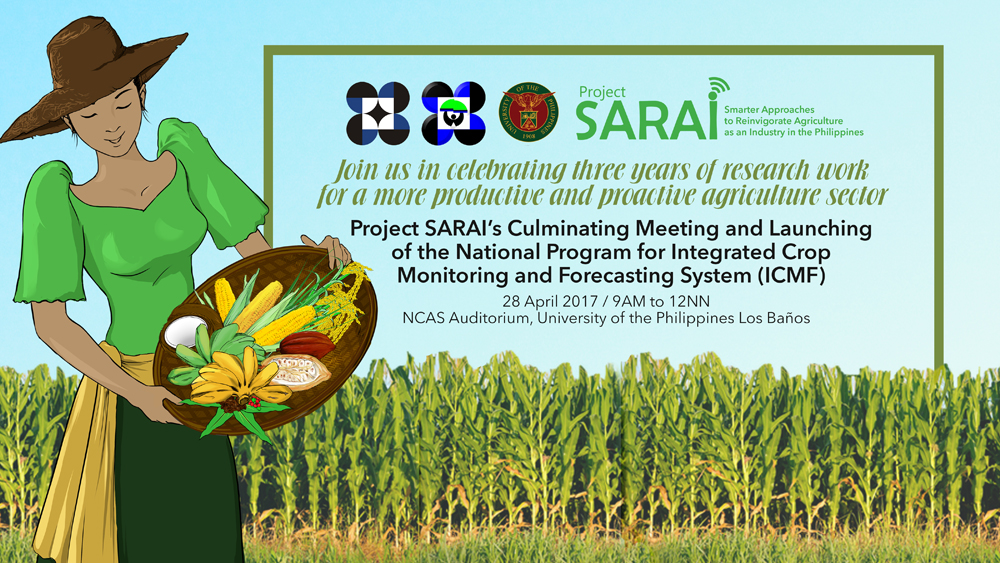
April 28, 9AM, NCAS Auditorium – This day is about agriculture advancing and going proactive, digital, mobile, and near real-time. It is about celebrating the many opportunities to re-energize our agriculture sector.
In November 2013, the University of the Philippines Los Baños, together with the Philippine Council for Agriculture, Aquatic and Natural Resources Research and Development of the Department of Science and Technology, launched the three-year research program Smarter Approaches to Reinvigorate Agriculture as an Industry in the Philippines (Project SARAI).
This 2017, Project SARAI will celebrate its research outputs ranging from a farm-specific integrated crop management advisory protocol to mobile pest identification applications:
1. Planting dates
Suggests dates to farmers when it is best to plant based on historical weather data.
2. MAIZE Nutrient Expert
An application that asks for farm-specific information, and provides farm-specific fertilizer rates and other management protocols. It also provides a comparison between the profit from doing the current farmer’s practice, and the suggested new practices.
3. Cost-efficient soil moisture sensors
Soil moisture sensors provide farmers and agricultural technicians with the soil moisture content that can be indicative of the need to water the planted areas to reduce crop stress. These SARAI-fabricated cost-efficient soil moisture sensors are available at only P2,500 to P3,000, as compared with commercially available sensors that cost around P20,000 to P30,000.
4. Pest risk maps for rice and corn
In response to El Niño and La Niña forecasts, the project produced region-specific pest risk maps for rice and corn. These maps serve as early warning protocols for projected affected farm areas.
5.SARAI Knowledge portal (www.sarai.ph)
The online portal integrates all the outputs, and makes it available online for the different interested users. The portal also makes the maps and other applications very interactive, so that the user can choose to manipulate the visuals of the maps depending on their needs.
6 .Crop suitability maps for rice, corn, coconut, banana, coffee, and cacao
These maps provide general data on the suitability index of the six different crops. These suitability index can be used for planning purposes, and other ground-verification activities.
7. SARAI-Enhanced Agricultural Monitoring System (SEAMS)
SEAMS uses free satellite images from the National Aeronautics and Space Administration (NASA) and the European Union (EU) to actively monitor crop production areas. Its outputs include regular crop production areas, typhoon damage assessment in terms of crops lost and flooded areas.
8. Daily weather SMS
Project SARAI installed 22 Automatic Weather Stations (AWS) nationwide, and developed a system to monitor the weather data, and send a daily SMS to subscribers every 6 in the morning.
9. Use of Unmanned Aerial Vehicle (UAV) for monitoring
The UAV, or more commonly known as drones, are also used for agricultural monitoring purposes. The images can provide farm-specific crop status and the spread of pest infestations.
10. National Training Needs Assessment (TNA) of farmers
Project SARAI anchored its training and learning design on the TNA results, which showed that farmers still prefer face-to-face trainings. Results also showed that farmers prefer getting agricultural information from peers, and other mainstream media such as radio and television.
Project SARAI will also launch the National Program for Integrated Crop Monitoring and Forecasting System (ICMF). The ICMF, a UPLB-based program, is the proposed sustainability platform of Project SARAI, where all of its outputs and extension activities will be housed and continued.
Celebrate with us and be part of the growing community for a more proactive agriculture sector.

