The Philippines: highly vulnerable to the impacts of climate change
The Philippines’ geographical location in the ‘Typhoon Belt’ results in cyclonic storms and floods occurring at a high level of intensity and frequency. Approximately 20 typhoons per year, mostly between June and November, visit the Philippine Area of Responsibility which frequently generate storm surges and flooding that damage huge areas. The recent IPCC Assessment Report (2022) noted that a 2°C rise in global warming is anticipated, increasing the risk of flooding for 30% more of the world’s population due to enhanced storm occurrences. Hence, it is crucial to manage and protect watersheds to prevent future flooding. One advantage of having a healthy and sustained watershed is adequate power and water resources, as well as protection from flooding downstream. Despite the importance of these ecosystems for both economic growth and environmental preservation, watersheds continue to deteriorate due to many socio-economic factors on a national scale, putting these systems and their users at risk.
Localized climate projections and future flood events in Lanao del Norte
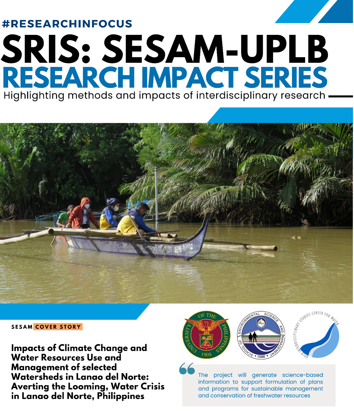
The DOST NRCP-funded project “Assessment of the impacts of climate change and water resources use and management on the hydrology of Lake Lanao watersheds: Averting the looming water crisis In Lanao Del Norte” was conceptualized to understand the hydrology and impacts of water resources use and management in the focus areas which can aid decision makers to provide science-based and data-driven recommendations for possible policy inclusion.
The previously concluded SRIS session focused on the identification of flood risk areas under varying magnitude and frequency of flood events in the identified watersheds. Under two emission scenarios (business-as-usual and high emission scenarios), flood events in the future were simulated and inundated areas as well as the observed difference from the baseline years were identified.
Rainfall projections under both concentration pathways in Lanao del Norte generally follow the temporal trend of the observed actual rainfall data which decreases on the onset of November and then begins to increase in April. This increase (decrease) in rainfall magnitude under different scenarios would have different implications in Lanao del Norte’s water resources. If anticipated and managed, this increase in rainfall would mean an increase in river discharge and aquifer recharge which may be tapped to increase agricultural productivity and possibly augment domestic and industrial demands. In the same principle, increase in rainfall would also mean larger surface runoffs for storm events which amplifies potential damages especially to urban municipalities where there are less pervious surfaces and to coastal municipalities as well.
Flood risk assessment for Maranding Watershed under a changing climate
The study used the Hydrologic Engineering Center – River Analysis System (HEC-RAS) for the floodplain analysis and simulation of the storm events in Maranding Watershed. From 2040-2059 future flood simulations, a 12-21% and 22-24% increase in inundated areas is possible for a 5-year and 100-year storm event due to a 14-33% expected increase in streamflow of Maranding River under climate change emission scenarios.
The anticipated increase in inundated areas pose even greater risk for low-lying barangays in the province. For the case of Lala, a municipality situated in the floodplain of Maranding Watershed, barangays Magpatao, Darumawang Ilaya, Tuna-An, and Camalan were projected to experience intensified flooding in the future if no intervention is employed to mitigate risk of flooding in these areas.
Towards averting the looming water crises in Lanao del Norte
Recommendations from this research can be used to strengthen local policies that are crafted to increase resiliency from water related disasters (floods, droughts) and improve water resource management. Quantifications for various climate scenarios may be integrated in long term plans and infrastructure development of the localities. Methodologies employed in this study could be replicated in other watersheds to assess future impacts of climate change and resource management on water resources. Research strategies were designed to identify policy recommendations that cut across stakeholders to ensure that proposed solutions are holistic and sustainable.
“The project will generate science-based information to support formulation of plans and programs for sustainable management of freshwater resources and risk mitigation for water-related disasters”
(RLDAreglado, EZSGapan, CBGigantone) This research is a two-year funded project by the National Research Council of the Philippines with SESAM and the UPLB Interdisciplinary Studies Center for Water (IDSC for Water) as the lead implementing agency. The project was started in September 2020 and ended August 2022. This was led by Dr. Patricia Ann J. Sanchez, a licensed agricultural engineer, a UP Scientist, and the Chair of the UPLB IDSC for water.

